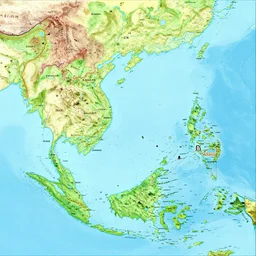
a geographical map of South East Asia
Semantic-matched gallery for Geography. Every image is generated with CuteDSL Z-Image Turbo — fused kernels, 2× faster on RTX 5090.
a geographical map of South East Asia
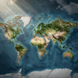
a world map for a new fantasy land, topographical view with forests, lakes, oceans, seas, mountains, and other terrains
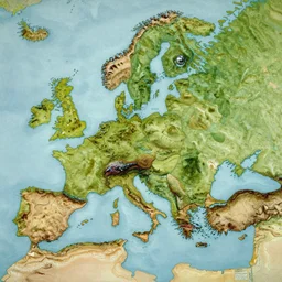
well drawn highly detailed topographical map of a large fantasy continent minimal bodies of water, emphasized elevation, styled like a j. r. tolkien map, oil painting
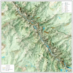
topographical map of a mountain range
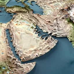
middle east topographic map, 3d render,
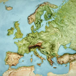
well drawn highly detailed topographical map of a large fantasy continent minimal water, emphasized elevation, styled like a j. r. tolkien map, oil painting
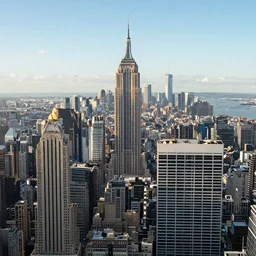
city landscape

detailed topographic map of area 5 1
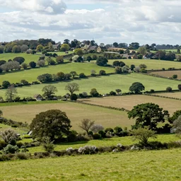
An english country landscape
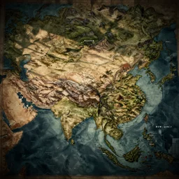
an ancient map of an imaginary continent

a city map, watercolor

a landscape
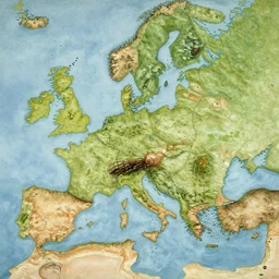
well drawn highly detailed map of a large fantasy continent minimal bodies of water, emphasized elevation, styled like a j. r. tolkien map, oil painting
environment art, high spatial tension
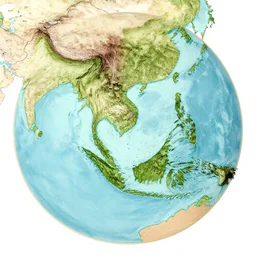
isometric view of mainland southeast asia, geographic map, high - detail, high accuracy, in style of old map, fantasy,
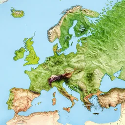
a high detailed topography map over stockholm
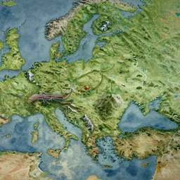
well drawn highly detailed map of a large fantasy continent, defined with mountains forests cities and roads, oil painting

mountainous landscape
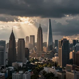
realistic city landscape
Landscape.

cartography map
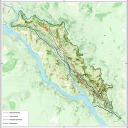
detailed topographic map of the river liffey and its tributaries
national geographic photo of a stream desktop in ancient egypt

19th century map of the Arabic Peninsula, the middle East, Arabia, cartography, 1800s, color, history

Environment map of a large wasteland with ruins of a past civilization, bold complementary colors, cartographic,

landscape, wallpapers
a map of another galaxy
the ozarks, landscape, national geographic

woman as the natural landscape, her curves form the mountains and rivers of the land , high quality art in the style of cubism and georgia o’keefe,

The Holy Land Mary Geoise
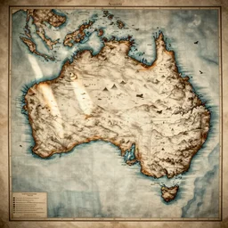
cartography map of australia. 1400s old sea map. faraway islands. amerigo vespucci
flat earth map
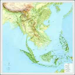
map of mainland southeast asia, zoom in burma thailand laos cambodia and vietnam, 1 7 th century, high accuracy, based on geographical map,

A depressing landscape, realistic.

a detailed vintage map showing the location of god, cartography
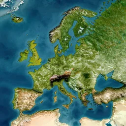
map of middle earth satellite image

nature landscape

A hyper realistic landscape, detailed, of a landscape in France.

General reference map. In the centre of the map is a large circular ocean. In the middle of the ocean are four islands. Surrounding the ocean is unbroken land. On the land there are sections of mountains, grasslands, forests, and deserts. Bold colours, intricate, highly detailed, cartographic

beautiful landscape national geographic mountains nature artstation

expressionist rendering, this is a land on an unforgiving world of churning oceans and jagged coastlines. every habitable island is situated somewhere along the planet's equator where the weather is still volatile but more hospitable than any points to the north or south
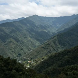
a mountain region

writing has nothing to do with meaning. it has to do with landsurveying and cartography, including the mapping of countries yet to come.

well drawn highly detailed map of a large fantasy continent minimal bodies of water, styled like a j. r. tolkien map, oil painting

retrofuture fantasy map of the mercantile polities of weeping strand archipelago. this is a land on an unforgiving world of churning oceans and jagged coastlines. every habitable island is situated somewhere along the planet's equator where the weather is still volatile but more hospitable than any points to the north or south, behance contest winner, charles sheeler, map art

melting rock geode, realistic, high detail

a detailed ancient map of the orkney islands, cartography

cartography map art, city map, highly detailed, vintage typography, modern design
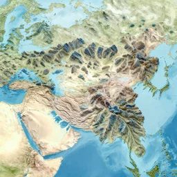
a map of a large continent divided by mountain ranges made of coral

contour map of a scottish mountain, 3 d, furnished with trees, snow patches, rivers, realistic

the image of earth and earth\'s continents projected onto a waffle, scientific diagrams, math equations, infographics, charts, graphs, magazine article, syrup, space
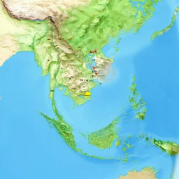
isometric view of mainland southeast asia, geographic map, zoom in thailand burma laos vietnam and cambodia, high - detail, high accuracy, in style of old map, fantasy,

lunar landscape with closeup of geodesic sphere
“landscape wallpaper”

realistic landscape

Environment map of a large dystopia island with ruins of a past civilization, bold complementary colors, cartographic
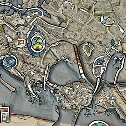
detail geographical map of hell and heaven. very detailed. hand drawn.
detail geographical map of hell and heaven. very detailed. hand drawn.

normal map and diffuse map of a stone wall - seamless

urban housing project, high rise apartment complex on a high mountain valley, lakes and snowy mountains
Geography images are generated by CuteDSL Z-Image Turbo — a fused-kernel
diffusion transformer that runs 2× faster on RTX 5090. Every image has its own SEO-friendly
detail page under /image/… with the full prompt, seed, model, and related art.
Looking for something else? Search Geography · Browse all tags · Full gallery · Generate your own.