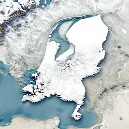
a satellite image of the Netherlands in the snow
a satellite image of the Netherlands in the snow
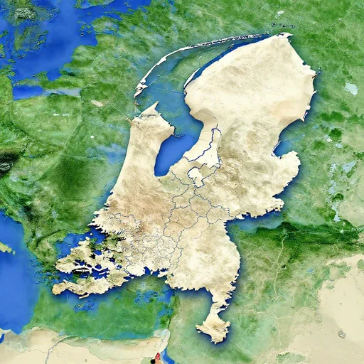
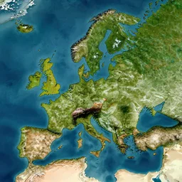
The Netherlands
satellite map
map of middle earth satellite image
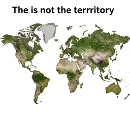
the map is not the territory, in the style of a map that is made of actual satellite imagery
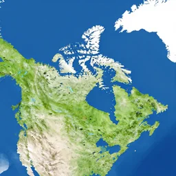
a satellite map of canada
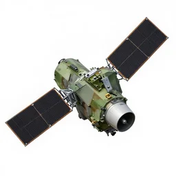
military satellite construction photo
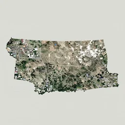
Satellite image of Missoula, Montana, Google Maps Style satellite image
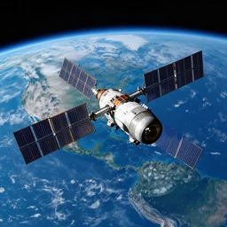
satellite orbiting earth, hd space photography
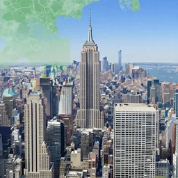
New York City, google earth satellite image
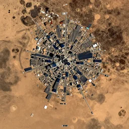
satellite image of a city on mars
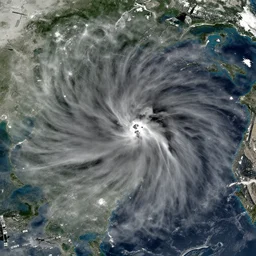
satellite image of intense draught
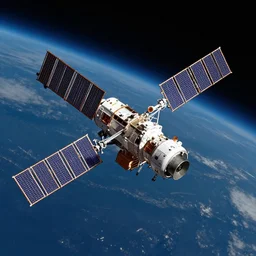
satellite in space
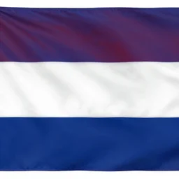
flag of the netherlands

Any kind of image
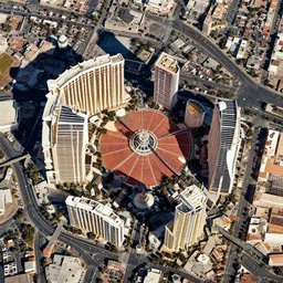
satellite image of Las Vegas, high definition
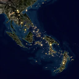
a satellite image of an archipelago with lights

this is a really small image
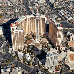
satellite image of Las Vegas, high definition, clear
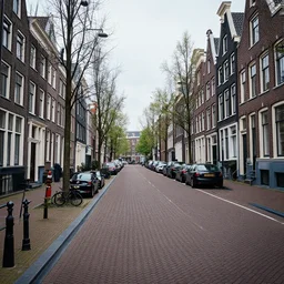
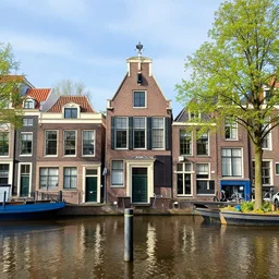
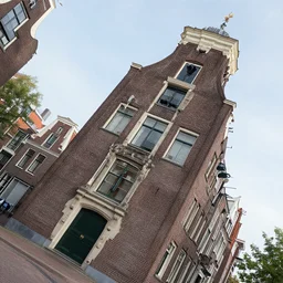
a photo of the city streets of the netherlands
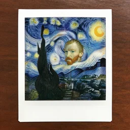
Polaroid image of Van Gogh
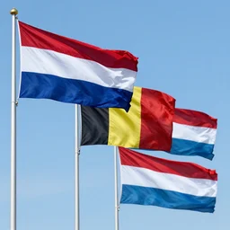
the flag of the Netherlands, Belgium and Luxembourg
dutch angle
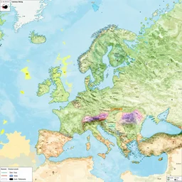
an alternative 8k world maps with alternative borders