
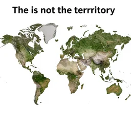
the map is not the territory, in the style of a map that is made of actual satellite imagery

the map is not the territory, in the style of a map that is made of actual satellite imagery
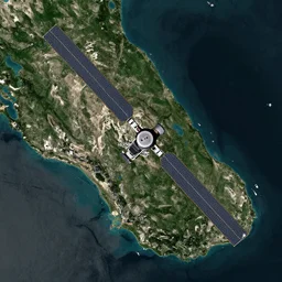
satellite map

world map after flood
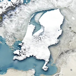
a satellite image of the Netherlands in the snow

a flood of anger

flood, floodlight, flood lamp, photoflood

flood combat form

(flood combat form)

a solitary great tree in the flood plains. a solitary great tree in the flood plains. floodplains. flooded plains. clear sunny day at noon. grass islands up close. flood waters. max rive, 4 k, instagram, landscape, hdr
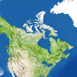
a satellite map of canada
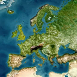
map of middle earth satellite image

a flooded city

a small german town being flooded with a thunderstorm in the background
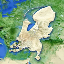
a satellite image of the Netherlands with borders

ultra detailed zoomed in photo satellite view of a saturn size hurricane swallowing earth

the great mud flood
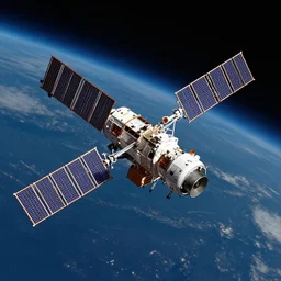
satellite in space

satellite View map of futuristic alien civilisation
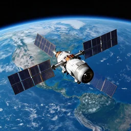
satellite orbiting earth, hd space photography

the great beer flood, 1987

a satellite orbiting earth, painting in the style of John Berkey
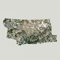
Satellite image of Missoula, Montana, Google Maps Style satellite image

weather satellite image of a once in a century tropical cyclone
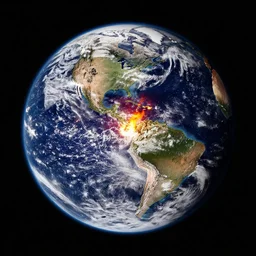
the earth on fire, nasa satellite image